
Central Japan (Chubu)
Chubu is the wide middle of Honshu, nine prefectures between Kanto and Kansai holding 22,111,253 people, with Nagoya at its centre and Mount Fuji on its eastern edge. The Japanese Alps run through it and split the island in two: the Pacific side is sunny in winter, the Sea of Japan side is buried in snow.
What Chubu is
Chubu is the part of Honshu most itineraries skip over on the way from Tokyo to Kyoto. In its wide definition it covers nine prefectures: Aichi, Fukui, Gifu, Ishikawa, Nagano, Niigata, Shizuoka, Toyama and Yamanashi. It sits directly between Kanto and Kansai, and it holds both a Pacific and a Sea of Japan coastline, the mountain resorts in between, the city of Nagoya and Mount Fuji. Including Mie, which is counted here in practice even though tradition puts it in Kansai, the region had 22,111,253 people on 1 October 2025. It is the widest part of Honshu, and the centre of it is high, rough mountain country.
Kanazawa and the Hokuriku Shinkansen
Kanazawa is the easiest way into Chubu because a bullet train goes there. The Hokuriku Shinkansen opened its first section, Takasaki to Nagano, on 1 October 1997 in time for the 1998 Winter Olympics, reached Toyama and Kanazawa on 14 March 2015, and ran on to Fukui and Tsuruga on 16 March 2024, adding 125 kilometres and six stations. Tokyo to Tsuruga now takes 3 hours 8 minutes. That 2015 extension is what put Kanazawa, its Edo-period Kenroku-en garden and its old teahouse districts back on a normal Japan itinerary.
Takayama, Shirakawa-go and the Alps
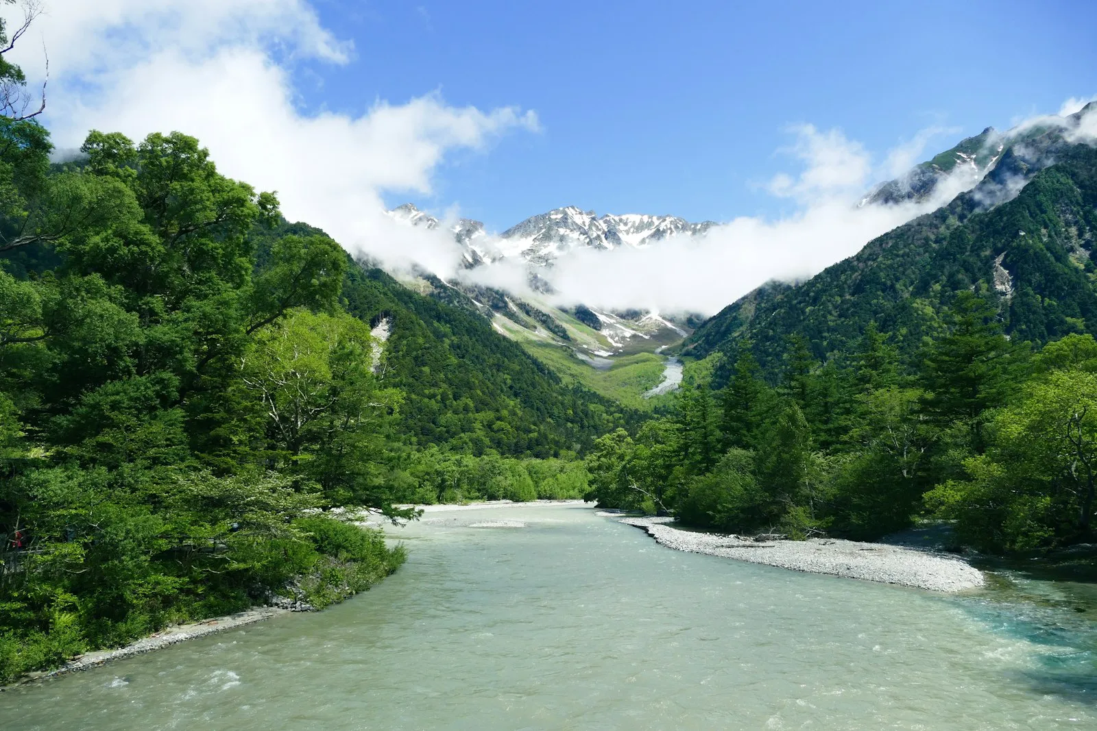
Inland, the region is mountains. The Japanese Alps bisect Honshu, and the name was coined by the English archaeologist William Gowland and popularised by the missionary Walter Weston, who has a memorial plaque at Kamikochi; Gowland meant only the Hida range, but the Kiso and Akaishi ranges are counted in now. Takayama, high in the Gifu mountains, is the town most people use as a base, and Shirakawa-go, the gassho-zukuri village UNESCO listed in 1995, is the reason many of them come. This is not a corner of Japan you rush: the roads bend, the buses are the transport, and the weather gets a vote.
Mount Fuji and the lakes
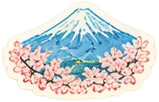
Mount Fuji is an active stratovolcano of 3,776.24 metres, the highest mountain in Japan, and it last erupted between 1707 and 1708. It stands about 100 kilometres south-west of Tokyo and is visible from the capital on a clear day, with snow on it for roughly five months of the year; the seasonal snowcap appears on an average date of 2 October. UNESCO added it to the World Heritage List as a cultural site on 22 June 2013 and recognises 25 places of cultural interest in its locality. Kawaguchiko, on the Fuji Five Lakes at its base, is where most people go to look at it rather than climb it.
When to go, and staying connected
Winter is the thing to plan around here, because the Alps decide it: the Pacific side of the region is sunny and the Sea of Japan side is snowed in, and Takayama and Shirakawa-go are on the snowy side. Our best time to visit Japan guide has the blossom and autumn windows. For coverage, docomo names the JR Kanazawa Station concourses and the Higashi Chaya district among its 5G standalone spots as of 31 May 2026, along with terminal 1 at Chubu Centrair and the summit of Mount Fuji during the climbing season only; it names neither Takayama nor Kawaguchiko. Goodbars sells a Japan eSIM you install at home and switch on when you land; it runs on NTT docomo, Japan's largest mobile network by mobile contracts, and our Japan coverage page shows where it reaches and what independent speed tests measure.
Common questions
What is the Chubu region?
Central Honshu: nine prefectures, Aichi, Fukui, Gifu, Ishikawa, Nagano, Niigata, Shizuoka, Toyama and Yamanashi, between Kanto and Kansai. Counting Mie it held 22,111,253 people on 1 October 2025.
How do I get from Tokyo to Kanazawa?
On the Hokuriku Shinkansen, which has served Kanazawa since 14 March 2015. The line was extended to Fukui and Tsuruga on 16 March 2024, and Tokyo to Tsuruga takes 3 hours 8 minutes.
Where do people go to see Mount Fuji?
Kawaguchiko, on the Fuji Five Lakes at the foot of the mountain, is the usual base for looking at it. The mountain is about 100 kilometres south-west of Tokyo and is visible from the capital on a clear day.
When is the best time to visit Chubu?
It depends which side of the Alps you want. The Pacific side is sunny in winter and the Sea of Japan side is deep in snow, which is exactly why people go to Takayama and Shirakawa-go then. Our best time to visit Japan guide sets out the blossom and autumn windows.
Will my phone work around Chubu?
Kanazawa is the well served part: docomo names the JR Kanazawa Station concourses and the Higashi Chaya district among its 5G standalone spots as of 31 May 2026, and also terminal 1 at Chubu Centrair. It names neither Takayama nor Kawaguchiko, so download maps before you go up into the mountains. Goodbars sells a Japan eSIM you install at home and switch on when you land; it runs on NTT docomo, Japan's largest mobile network by mobile contracts, and our Japan coverage page shows where it reaches and what independent speed tests measure.
On the map
Install before landingLAND ONLINE
Set up your eSIM at home and step off the plane already connected. No counter, no passport handed over, no queue.
See the plans- No ID needed
- No contract
- Instant email delivery
- Works on arrival