Where the reef trip actually is
Okinawa Prefecture is the southernmost and westernmost part of Japan, and it is mostly sea. Three island groups, the Okinawa Islands, the Sakishima Islands and the Daito Islands, are spread across a maritime zone about 1,000 kilometres east to west and 400 kilometres north to south; of 160 islands, 49 are inhabited, and the climate is subtropical, with warm temperatures and high rainfall through the year. You arrive by air. Naha Airport, 4 kilometres west of the city hall, is Japan's sixth busiest, operates around the clock and served 21.5 million passengers in 2018, and the Haneda to Naha route was the third busiest in the country as of 2022. From Naha you carry on by ferry or by a second flight, and that second leg is what your diving days are built around.
The Keramas, 32 kilometres out
The Kerama Islands are a subtropical group 32 kilometres south-west of Okinawa Island, and they are the closest thing to a sure bet. On 5 March 2014 the waters and the islands were placed under protection as Kerama Shoto National Park: 3,520 hectares of land in the municipalities of Tokashiki and Zamami, plus 90,475 hectares of surrounding sea. The date is not an accident, since 5 March is Coral Day in Japan. Two areas here were designated Ramsar sites in November 2005, one along the west coast of Tokashiki and around Hanari, the other between Aka Island and Zamami Island. Ferries run from Naha to Tokashiki, Aka and Zamami, so the islands work as a day out or as a base. The islands of Aka, Fukaji, Geruma and Yakabi are the only natural habitat of the endangered Kerama deer.
Ishigaki, Kabira Bay and the national park
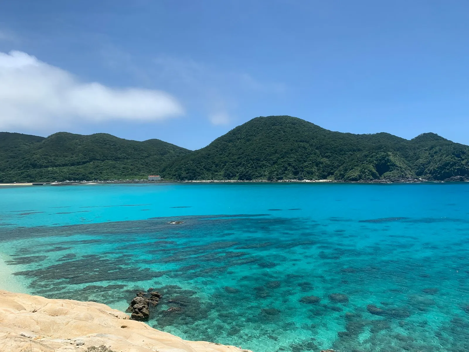
Ishigaki lies about 411 kilometres south-west of Okinawa Island and is the second largest island of the Yaeyama group, after Iriomote. Much of the island and the water around it, including Mount Omoto and Kabira Bay, is protected inside Iriomote-Ishigaki National Park, which was established in 1972 as Iriomote National Park, covering Iriomote, Kohama, Kuro and Taketomi, and extended in August 2007 to include Ishigaki. The park is known as the habitat of the Iriomote wild cat. Kabira Bay, on the north coast, is the image everyone has seen: white sand, turquoise water, dense green behind it, and black pearls cultured in the bay itself. It is a designated Place of Scenic Beauty, and what you may and may not do in the water there is set locally, so ask at the bay rather than assuming you can swim.
Miyako and its bridges
Miyako Island is the third option, and the flattest one to organise. It lies roughly 300 kilometres south-west of Okinawa Island, covers 158.70 square kilometres and is the fourth largest island in the prefecture. Three nearby islands, Irabujima, Ikema and Kurima, are joined to it by bridges, which is why a hire car works here in a way it does not on a ferry-only island; the Irabu connection has been in place since early 2015. The climate is tropical rainforest by the Koppen classification, with every month averaging at least 18 degrees, so the water is warm for a long stretch of the year. Tourism has grown hard since the early 2010s, with annual visitors passing one million in both 2018 and 2019, so book flights and cars early rather than on arrival.
The season that cancels boats
Two weather windows decide an Okinawa trip, and neither is a detail. The Okinawa rainy season starts early in May and continues until mid-June, which is earlier than the mainland tsuyu. Typhoons are the bigger problem: the UK FCDO puts the season from June to December, peaking from July to September, while Wikipedia's climate article describes five or six typhoons passing over or near Japan every year from early August to early October. Either way, that overlaps the months when the sea looks best. Keep the Japan Meteorological Agency alerts switched on, leave a spare day at each end of an island leg, and never book a ferry or an island flight for the morning of your flight home. Golden Week from 29 April to 5 May and Obon around 15 August fill internal flights and rooms.
Booking a dive, and signal on the water
We do not publish operator names or dive prices, so treat the booking as your own research and ask the specific questions. Ask what certification a given dive requires, whether snorkelling trips and dives share a boat, what the cancellation policy is when a typhoon warning goes up, and what the operator does about the national park rules, since the Keramas and the Yaeyamas are protected areas where the reef is the reason for the protection. Do not stand on coral, do not take anything out of the water, and follow the briefing.
On signal, the sea is the honest limit. Our carrier named Naha's international avenue, part of the domestic terminal at Naha Airport and the Churaumi Aquarium among its early 5G spots, and it has added Sub6 at airports across Kyushu and Okinawa, but it also states plainly that mountains, remote islands and the sea are where ground stations have not reached, and that on coasts and at sea a phone can latch onto a foreign network and run up roaming charges. Download charts, ferry times and maps on the main island, and consider switching data roaming off on the boat. Goodbars sells a Japan eSIM you install at home and switch on when you land; it runs on NTT docomo, Japan's largest mobile network by mobile contracts, and our Japan coverage page shows where it reaches and what independent speed tests measure.